
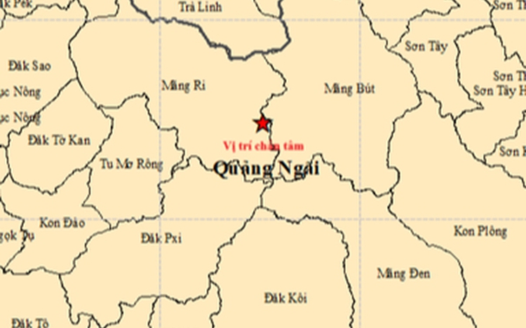
A map shows the location of the epicenter (red star) of the magnitude-4.9 earthquake that occurred at 1:28 am on October 6, 2025 in Mang But Commune, Quang Ngai Province, central Vietnam. Photo: Vietnam’s Institute of Earth Sciences
All the quakes were recorded in Mang But and Mang Ri Communes, with magnitudes ranging from 2.5 to 4.9, including four that exceeded magnitude-4, said Nguyen Xuan Anh, the center’s director.
The magnitude-4.9 quake struck Mang But at 1:28 am on Monday at a depth of about 8.1 kilometers, prompting a level-1 natural disaster risk warning.
On social media, residents in several nearby localities, including Gia Lai Province and the cities of Da Nang and Hue, reported feeling strong shaking from the strongest tremor.
Van Anh, a resident of Pleiku City in Gia Lai, said she woke up startled as her bed shook violently for about five to seven seconds.
Vy Hoang from Hoi An, Da Nang City said he also felt the tremor clearly for about five seconds.
“I was lying in bed when it started shaking. It woke me up immediately. It’s the first time I’ve ever felt an earthquake,” Hoang said.
Along with the strongest quake, ten additional quakes struck both Mang But and Mang Ri on Monday morning, the latest recorded at 9:58 am in Mang But, at a depth of 8.1 kilometers and rated level-0 on Vietnam’s disaster risk scale.
Earlier, between 6:58 pm and 11:56 pm on Sunday, Mang But alone experienced 10 tremors ranging from magnitude-2.5 to -4.3.
In total, 21 earthquakes struck the two communes over roughly 15 hours, beginning on Sunday evening.
The center said seismic activity in the area continues to be closely monitored.
Since 2021, hundreds of tremors have been recorded in Quang Ngai, particularly around the former Kon Plong District of the former Kon Tum Province, with several strong enough to cause noticeable shaking.
Kon Tum is now part of Quang Ngai, as per a nationwide administrative restructuring effective from July 1.
The strongest recent quake in the area was a magnitude-5.0 tremor in July 2024, followed by a magnitude-4.7 quake in August 2022.
Anh noted that these are induced earthquakes, triggered by human activities such as reservoir and hydropower construction, mining operations, or even nuclear testing.
Preliminary studies suggest that seismic activity in the area is likely to persist but is not expected to exceed magnitude-5.5.
He stressed the need for more detailed research to better assess potential risks.
The Institute of Earth Sciences has established 11 monitoring stations in the region and is conducting in-depth studies to update its assessments.
In Vietnam, earthquakes measuring between 3.0 and 3.9 on the Richter scale are generally classified as minor, often felt by some people but rarely causing damage.
Those ranging from 4.0 to 4.9 are considered small, while quakes between 5.0 and 5.9 are categorized as moderate and may cause slight to moderate damage.
A tremor reaching magnitude-6 or higher is classified as strong.
According to official data, Vietnam has recorded only three major earthquakes in modern history, all in the northern province of Dien Bien — in 1935, 1983, and 2001 — with magnitudes of 6.9, 6.7, and 5.3, respectively.

Max: 1500 characters
There are no comments yet. Be the first to comment.