
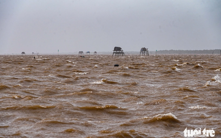
Strong winds hit the coast of Hung Yen Province in northern Vietnam around 10:00 am local time on July 22, 2025, shortly after calm conditions an hour earlier. Photo: Hong Quang / Tuoi Tre
As of 06:00 a.m., Wipha was 60 km off the coast of Hai Phong City with wind speeds of up to 102 kph (63 mph), and was moving southwest at a speed of 15 kph, according to the national weather forecast agency.
After making landfall in Hung Yen and Ninh Binh provinces, Wipha is forecast to weaken to a low-pressure event on Tuesday night, the agency said.
No casualties or damage have been reported so far. Witnesses in Hai Phong, an industrial base that is home to key ports, said the wind and rain were moderate on Tuesday morning.
"We are able to go outdoors this morning as the wind is not too strong," said a resident of Cat Ba Island in Hai Phong.
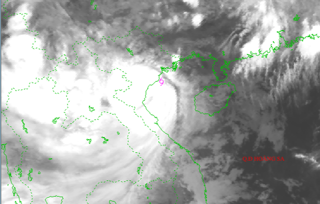
A satellite image shows storm Wipha approaching Vietnam's mainland at 7:00 am local time on July 22, 2025. Photo: National Center for Hydro-Meteorological Forecasting
On Sunday, Prime Minister Pham Minh Chinh put coastal provinces on emergency footing for Wipha, saying it could cause flooding and landslides.
Airlines have cancelled and rescheduled dozens of flights, and some airport, port and train services have been suspended.
With a long coastline facing the East Vietnam Sea, Vietnam is prone to typhoons that are often deadly. Last year, Typhoon Yagi killed around 300 people and caused $3.3 billion of damage.

Max: 1500 characters
There are no comments yet. Be the first to comment.