
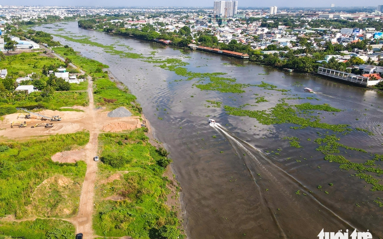
An aerial view of the Saigon River in Ho Chi Minh City. Photo: Phuong Nhi
The project involves the urgent upgrade and reinforcement of a flood control and irrigation system stretching 51.4 kilometers along the right bank of the river, from the Tra Canal to the Vam Thuat River.
It is expected to be completed by 2027 at a cost of over VND991 billion (US$38 million).
The construction includes the enhancement of a 17.5 km riverbank embankment, repairs to seven inland dikes totaling nearly 34 km, and the installation of two tidal sluice gates at Cau Vong and Ba Hong canals.
“This section was reinforced in an earlier phase, but it has significantly deteriorated over time,” said Van Phu Thai, deputy director of the Ho Chi Minh City Urban Infrastructure Construction Management Board, which oversees the project.
“The new upgrades will not only improve flood resilience but also serve as transport infrastructure to support the area’s development.”


The low-lying areas along the Saigon River have long suffered from tidal flooding and riverbank erosion, worsened by climate change and extreme weather events.
Beyond flood control, the project is expected to boost local socio-economic development.
“This will help reshape the urban landscape, promote riverside tourism, and support a transition to high-tech agriculture,” said Dau An Phuc, director of the management board.
“It will create jobs, increase income, and improve living standards.”

Max: 1500 characters
There are no comments yet. Be the first to comment.