
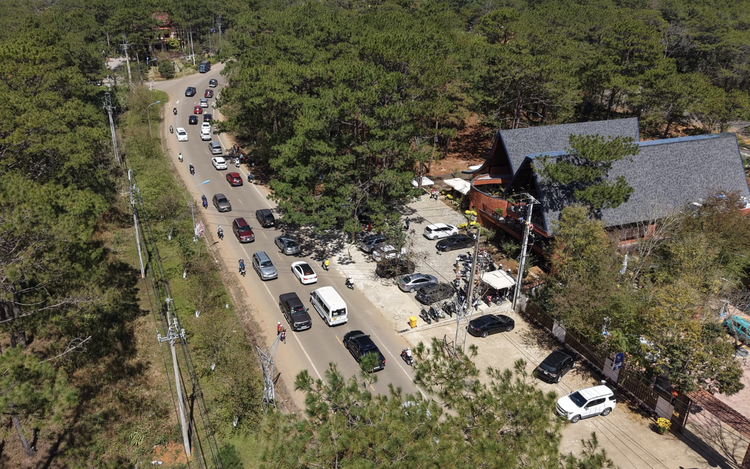
An aerial view of Mang Den Commune in Quang Ngai Province, central Vietnam, where a magnitude-3.7 earthquake was recorded on January 14, 2026. Photo: Tran Mai / Tuoi Tre
The tremor occurred at 9:45 pm, with a focal depth of about 8.1 kilometers, and was classified as level-zero on the natural disaster risk scale, according to the Vietnam Earthquake Information and Tsunami Warning Center under the Institute of Earth Sciences.
Residents reported feeling light shaking that lasted only a few seconds, with some household items moving slightly.
Local authorities said the tremor was short-lived and did not disrupt daily life, allowing residents and visitors to remain calm.
Experts said such minor earthquakes, including the one recorded in Mang Den, generally result in little or no damage and occur frequently worldwide, with an estimated 10,000-15,000 events each year.
The center urged the public to remain calm during tremors.
People inside buildings should hold onto door frames or take cover under sturdy tables in well-constructed structures, while those outdoors should move away from power lines and utility poles and head to open areas.
Drivers should safely pull over and stop until the shaking subsides.
Mang Den was previously part of Kon Tum Province and is now part of Quang Ngai following the merger of Kon Tum into Quang Ngai under a national administrative restructuring effective July 1, 2025.
The area is considered among Vietnam’s most seismically active regions.
Since 2021, the area has recorded thousands of earthquakes, most measuring between 2.5 and below 5 on the Richter scale, with the vast majority causing no damage.
At times, tremors have occurred in rapid succession, with dozens detected in a single day, raising concerns among local residents.
The strongest earthquake documented in the area in recent years reached magnitude-5, shaking a wide area and causing minor damage to some schools and household property.
Scientists classify earthquakes in the Mang Den area as induced seismic events linked to geological conditions and changes in underground stress.
Relevant agencies said they are closely monitoring seismic activity and urged residents and visitors not to panic, while staying informed and prepared.
In Vietnam, earthquakes measuring between 3.0 and 3.9 are generally considered minor and are rarely destructive.
Tremors ranging from 4.0 to 4.9 are classified as small, while those between 5.0 and 5.9 are regarded as moderate and may cause limited damage.
Earthquakes of magnitude 6 or higher are considered strong and can result in more serious destruction.
Official data show that Vietnam has recorded three major earthquakes in its history, all in northern Dien Bien Province, in 1935, 1983, and 2001, with magnitudes of 6.9, 6.7, and 5.3, respectively.

Max: 1500 characters
There are no comments yet. Be the first to comment.