Residents warned of 23 frequently flooded streets in Ho Chi Minh City
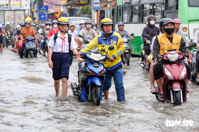
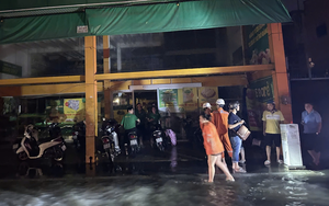
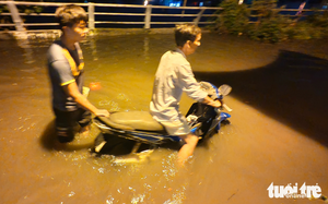
High tides combined with recent heavy rain continue to flood major streets across Ho Chi Minh City, with officials listing 23 locations that regularly go underwater whenever the tides rise above warning levels.

Flooding on Van Tien Dung Street (National Highway 50) during high tides in Ho Chi Minh City. Photo: Phuong Nhi / Tuoi Tre
The municipal Department of Construction reported at a press briefing on Thursday that rainfall in recent years has typically lasted from 30 minutes to two and a half hours, reaching volumes of 20 millimeters to more than 126 millimeters.
Tide levels have ranged from 1.74 meters to 1.82 meters.
Since early 2025, the city has recorded 75 days of tides exceeding the first warning level of 1.4 meters.
The highest tide so far occurred on November 6, reaching 1.77 meters at Phu An Station and 1.82 meters at Binh Trieu Station.
The most heavily affected areas include low-lying neighborhoods along rivers and canals such as An Khanh, Phuoc Long, and Phu Huu Wards in former Thu Duc District; Tan Thuan, Tan My, and Phu Thuan Wards in former District 7; Nha Be and Hiep Phuoc Communes in Nha Be; Binh Dong Ward in former District 8; and Binh Hung, Tan Nhut, Tan Vinh Loc, and Binh Loi Communes in former Binh Chanh.
The Thanh Da Peninsula and Binh Quoi area in former Binh Thanh District also face recurring inundation.
According to the department, 12 streets in former Ho Chi Minh City are frequently flooded by 0.1 meter to 0.3 meters during high tides.
These include Calmette, Binh Quoi, Tran Xuan Soan, Huynh Tan Phat, Le Van Luong, Dao Su Tich, Pham Huu Lau, Nguyen Binh, National Highway 50, Nguyen Van Huong, Vo Nguyen Giap, and Mai Chi Tho.
Eight flood-prone locations in the former Binh Duong area include the intersection at the Thich Quang Duc culvert, a road along Bung Cai Canal, Ho Van Cong Street, the Binh Thang stream area, National Highway 1K, Binh Duong Avenue, the area in front of Fito Pharma and Cach Mang Thang Tam Street.
Three flooding hotspots in the former Ba Ria-Vung Tau area are the Decoimex Expansion Zone, Alley 646 on 30/4 Street and Alley 842 on Binh Gia Street.
Authorities advise residents to monitor tide forecasts, avoid flooded routes during peak hours, and follow traffic police instructions when water levels rise.
The current Ho Chi Minh City is a merger of former Ho Chi Minh City, Binh Duong, and Ba Ria-Vung Tau, as part of a nationwide administrative restructuring drive in which 63 Vietnamese provinces and cities were reduced to 34, effective from July 1.
Phuong Nhi / Tuoi Tre News
Link nội dung: https://news.tuoitre.vn/residents-warned-of-23-frequently-flooded-streets-in-ho-chi-minh-city-103251121111338935.htm

