


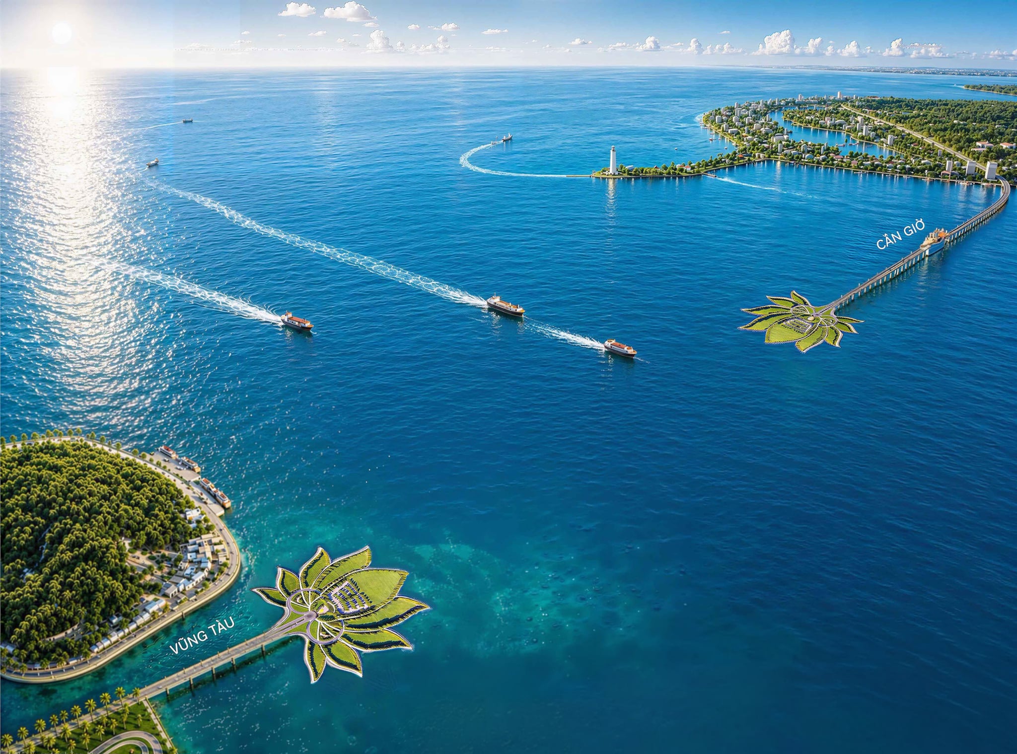
The project will have a total length of about 14.06km and feature six lanes, including a sea tunnel section of approximately 3.85km. It will be the first project in Vietnam to combine a bridge, tunnel approaches, and an undersea tunnel in a single structure.
As Ho Chi Minh City enters a new phase of development following its administrative expansion in July last year, with a stronger emphasis on regional connectivity, linking the two shores of Ganh Rai Bay, Can Gio and Vung Tau, is no longer merely a transportation project.
Instead, it is expected to become a strategic component of the expanded city's coastal infrastructure network.
Standing on Can Gio's shoreline, Vung Tau can be seen just across Ganh Rai Bay, only a little over 10 kilometers away as the crow flies.
However, traveling between the two sides still requires a lengthy overland journey.
Commuters must first head back toward central Ho Chi Minh City before taking expressways and national highways through Dong Nai Province to reach Vung Tau, a trip of about 140 kilometers that takes more than four hours.
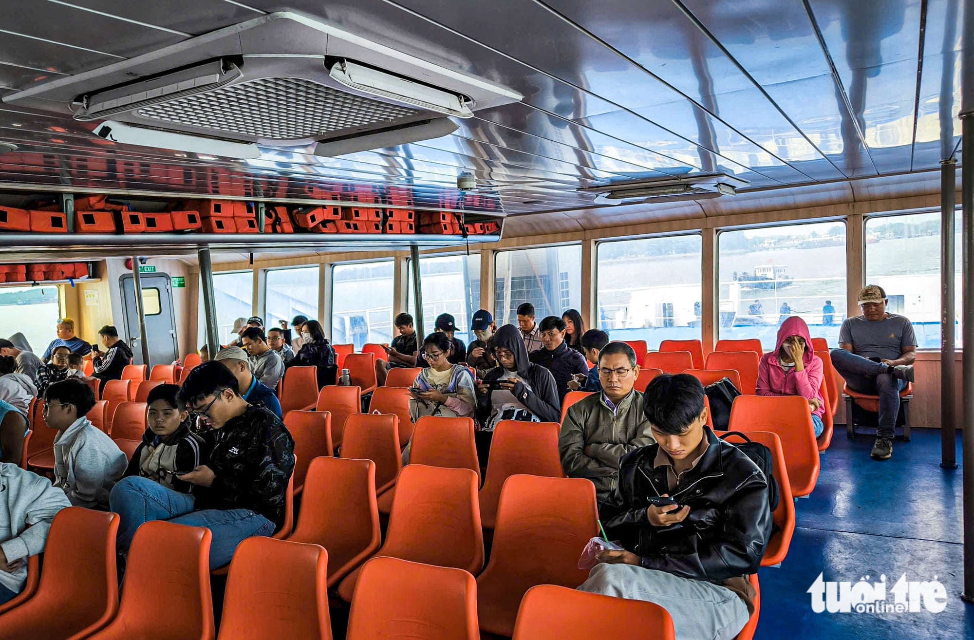
Alternatively, travelers can take a ferry from Tac Suat Terminal across Ganh Rai Bay to Vung Tau in around 30 minutes, excluding waiting times or weather-related disruptions.
For generations, local residents have hoped for a sea-crossing route that would connect the two shores directly and cut travel time to just ten minutes.
That vision is about to become reality.
On July 1, Ho Chi Minh City is scheduled to break ground on the approximately 14-kilometer Can Gio-Vung Tau sea-crossing project.
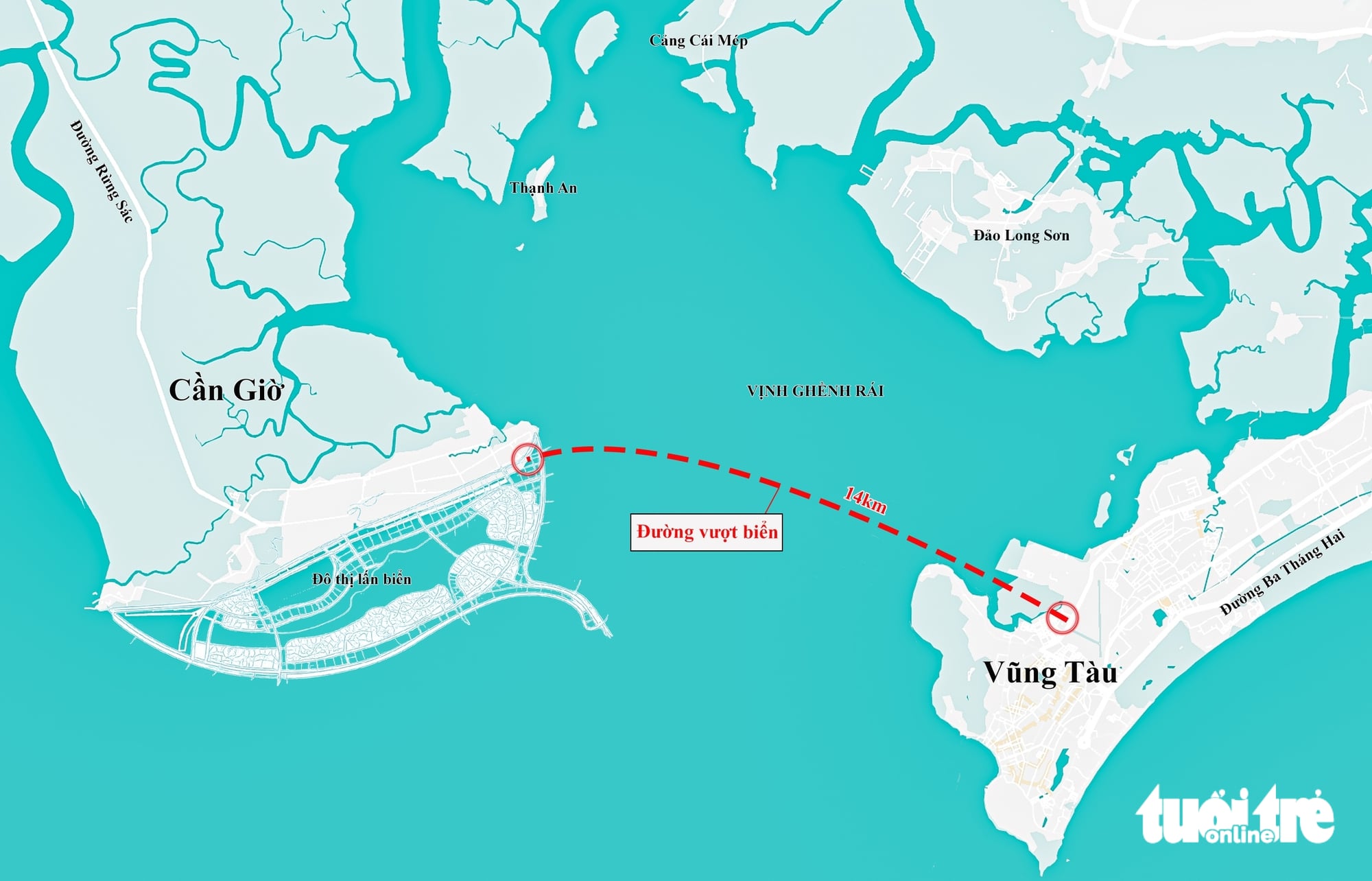
The Can Gio-Vung Tau sea-crossing route will feature six lanes for motor vehicles with a design speed of 80km/h. Starting from the Can Gio coastal urban area in Can Gio and ending in the Tam Thang area in Vung Tau, the route will create a direct transport link across Ganh Rai Bay, replacing the current road journey that requires a detour of more than 140km.
Beyond improving transport connectivity, the project is expected to serve as a 'golden link' connecting key development corridors, bringing together the strengths of coastal urban areas, marine tourism, international seaports, logistics, and one of Vietnam's busiest maritime shipping routes.
The Can Gio-Vung Tau sea-crossing road represents the ambition and can-do spirit of its investors and Ho Chi Minh City, showcasing their willingness to break new ground in the first year of the expanded city's establishment.
Ganh Rai Bay, where rivers meet sea
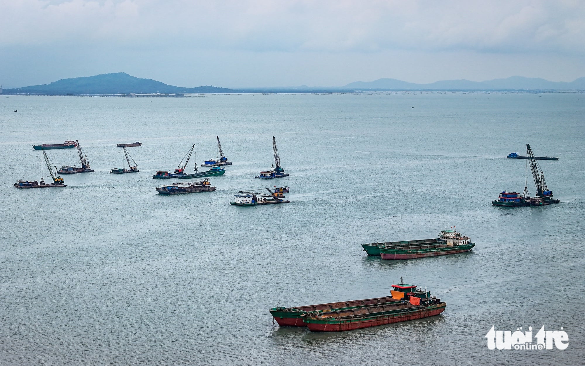
Ganh Rai Bay forms the seaward gateway for the Soai Rap, Long Tau, and Thi Vai river systems.
It is a major waterway serving cargo vessels and other watercraft traveling to and from major ports in southern Ho Chi Minh City and the Cai Mep–Thi Vai port complex.
It is not only a vast expanse of water but also a key maritime crossroads, where sea and river shipping routes intersect, resulting in heavy vessel traffic.
This geographical setting has made the area a major advantage for the development of the marine economy and seaport infrastructure.
At the same time, it has created a natural barrier separating Can Gio from the urban area of Vung Tau.
Although the two shores are relatively close, the presence of major shipping channels and river mouths has made establishing a direct road connection a complex infrastructure challenge that has remained unresolved for many years.
Architectural renderings of the future Can Gio-Vung Tau sea-crossing road project:
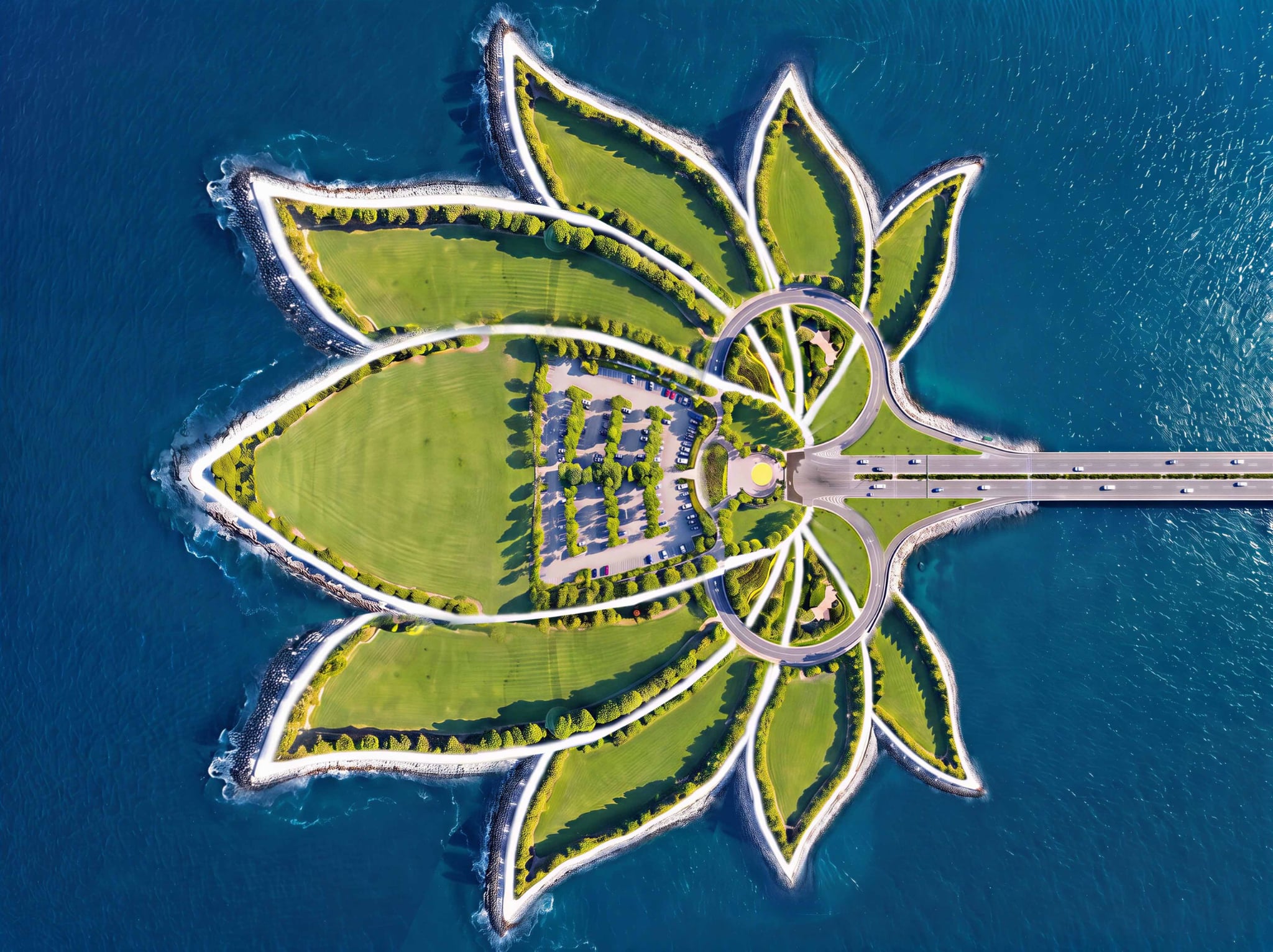
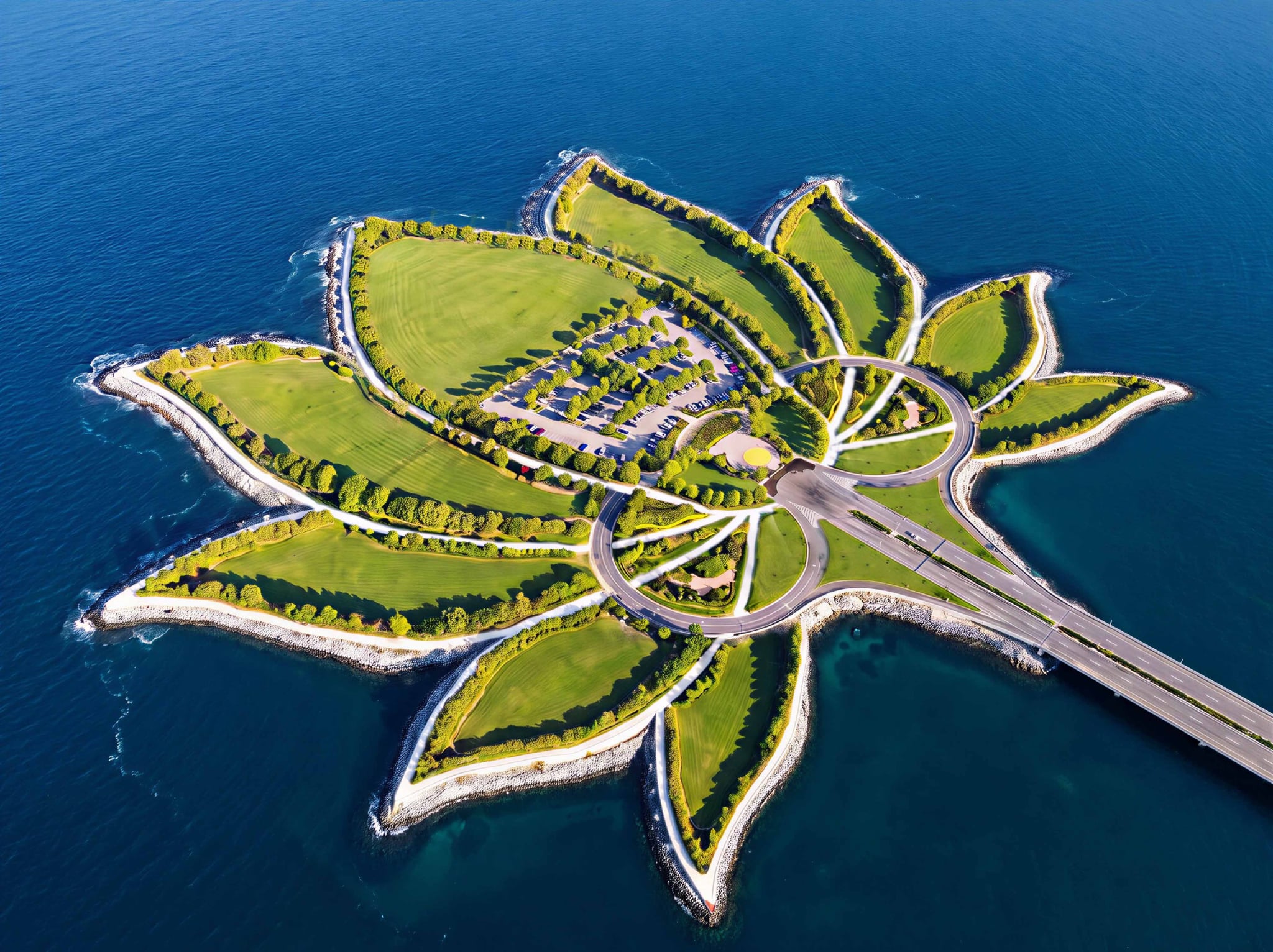
Architectural renderings of the tunnel portal, where the bridge transitions into the immersed tunnel beneath the sea
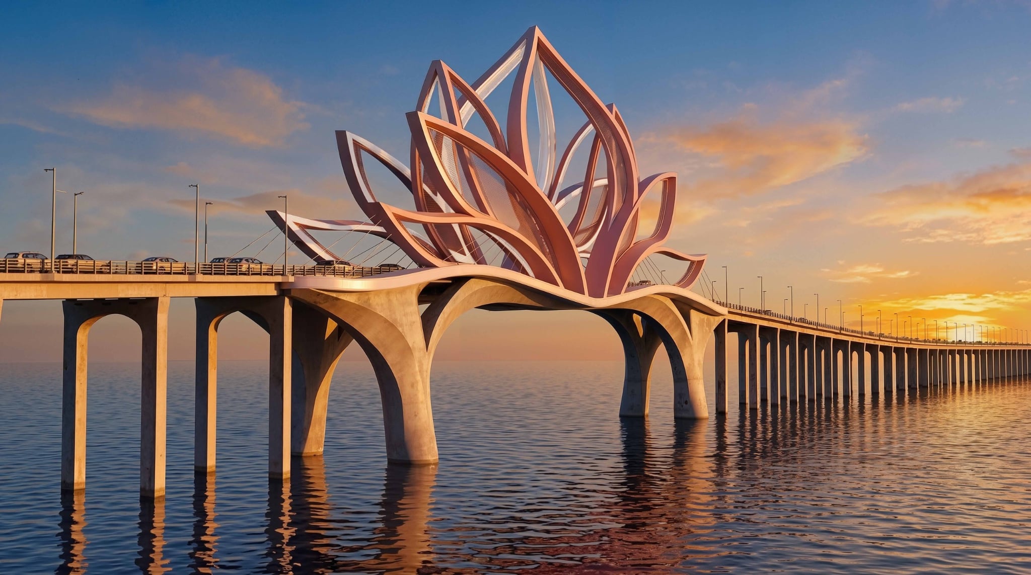
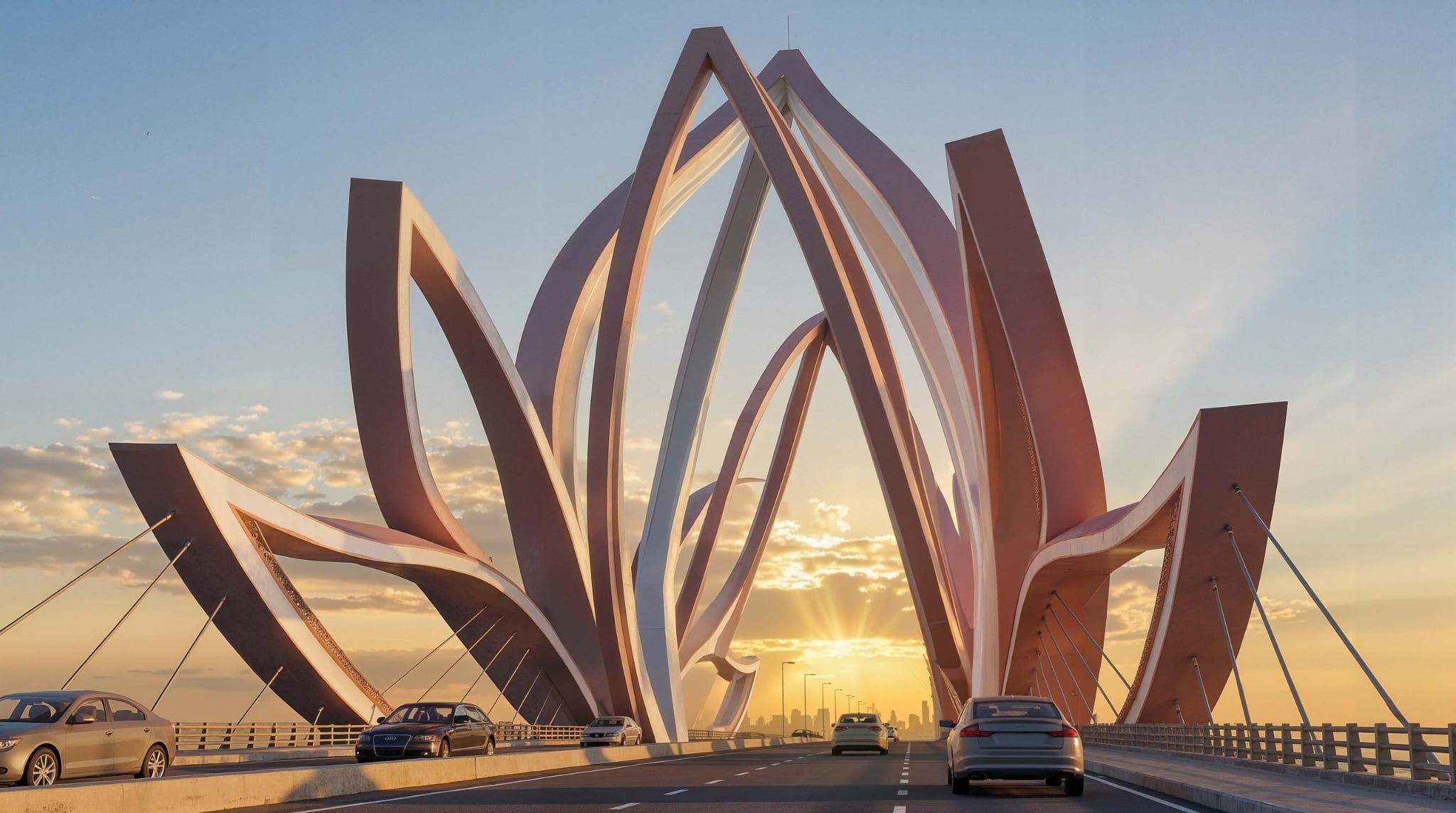
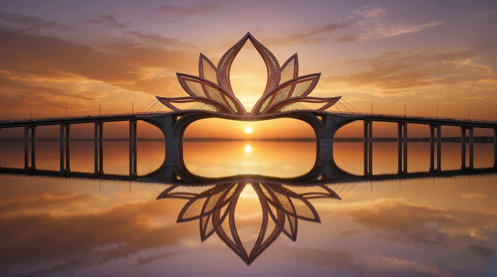
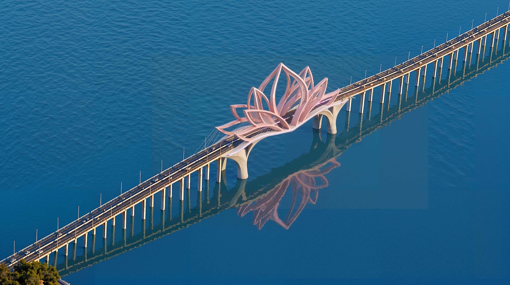
Bridge designs proposed for the Can Gio-Vung Tau sea-crossing road project
Drone views of sites linked to the future Can Gio-Vung Tau sea-crossing route:
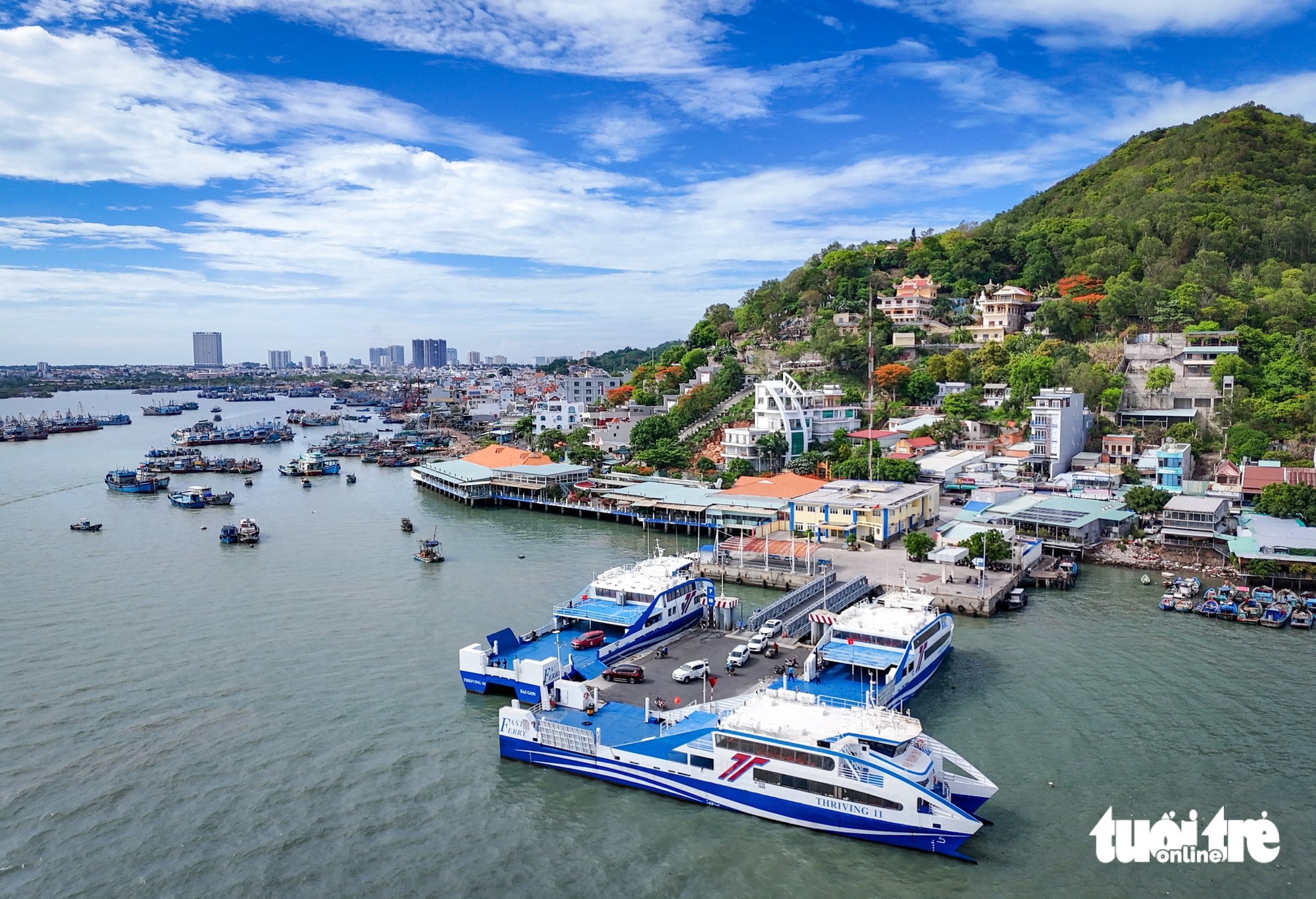
The Can Gio-Vung Tau ferry route spans about 15km and takes around 30 minutes, with approximately 24 crossings each day.
The Can Gio-Vung Tau sea-crossing route will be Vietnam’s first transport project to combine a sea bridge and an immersed tunnel.
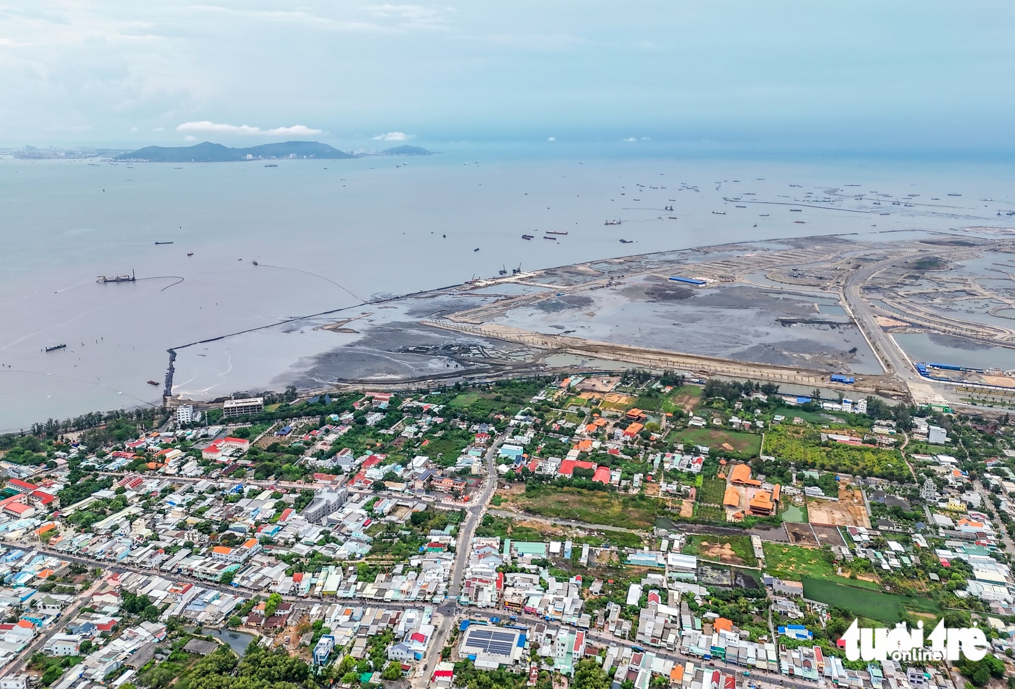
From the Can Gio coastline, Vung Tau is clearly visible across Ganh Rai Bay. The two shores are only about 10km apart, yet there is currently no direct road connection between them.
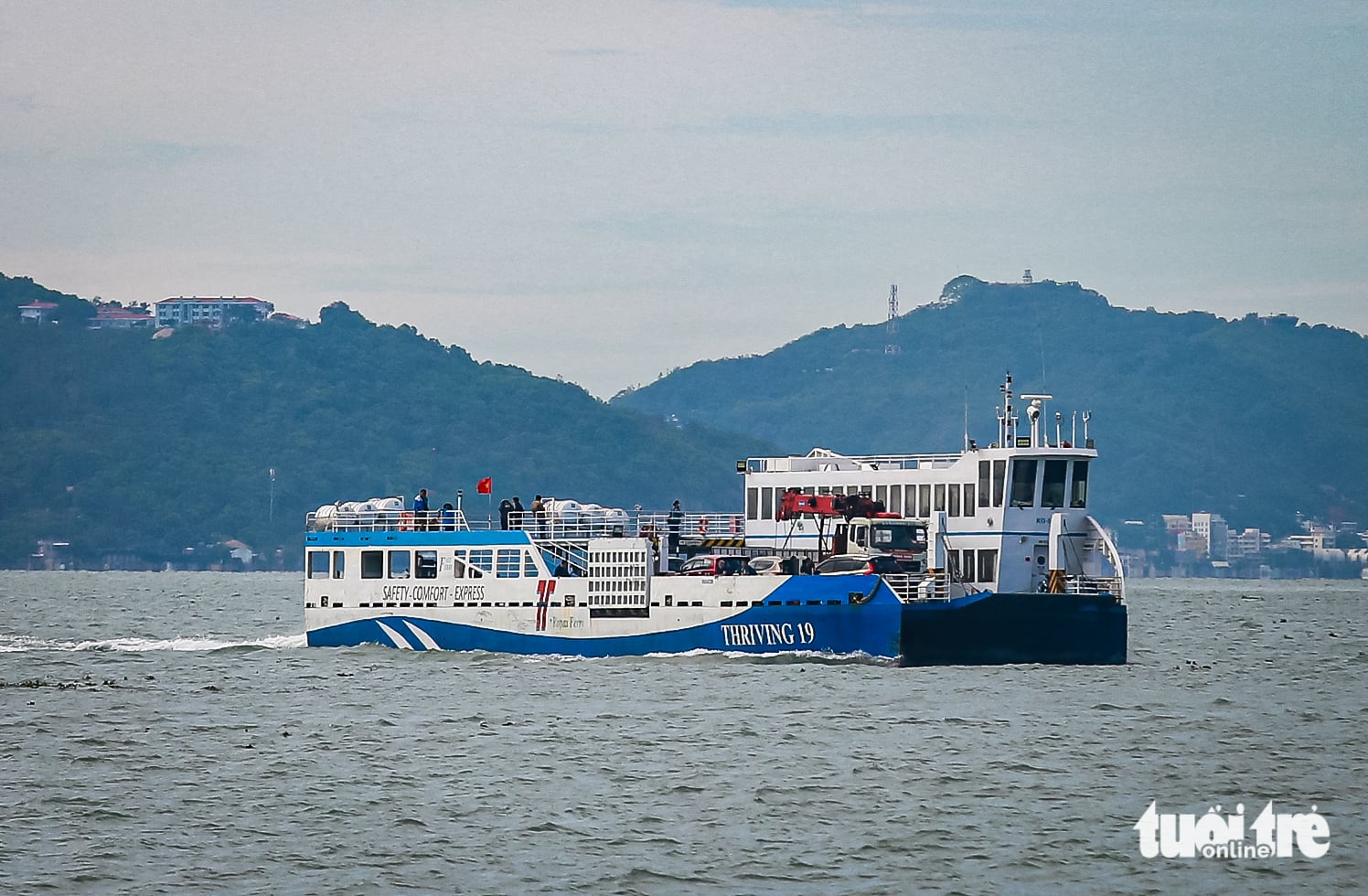
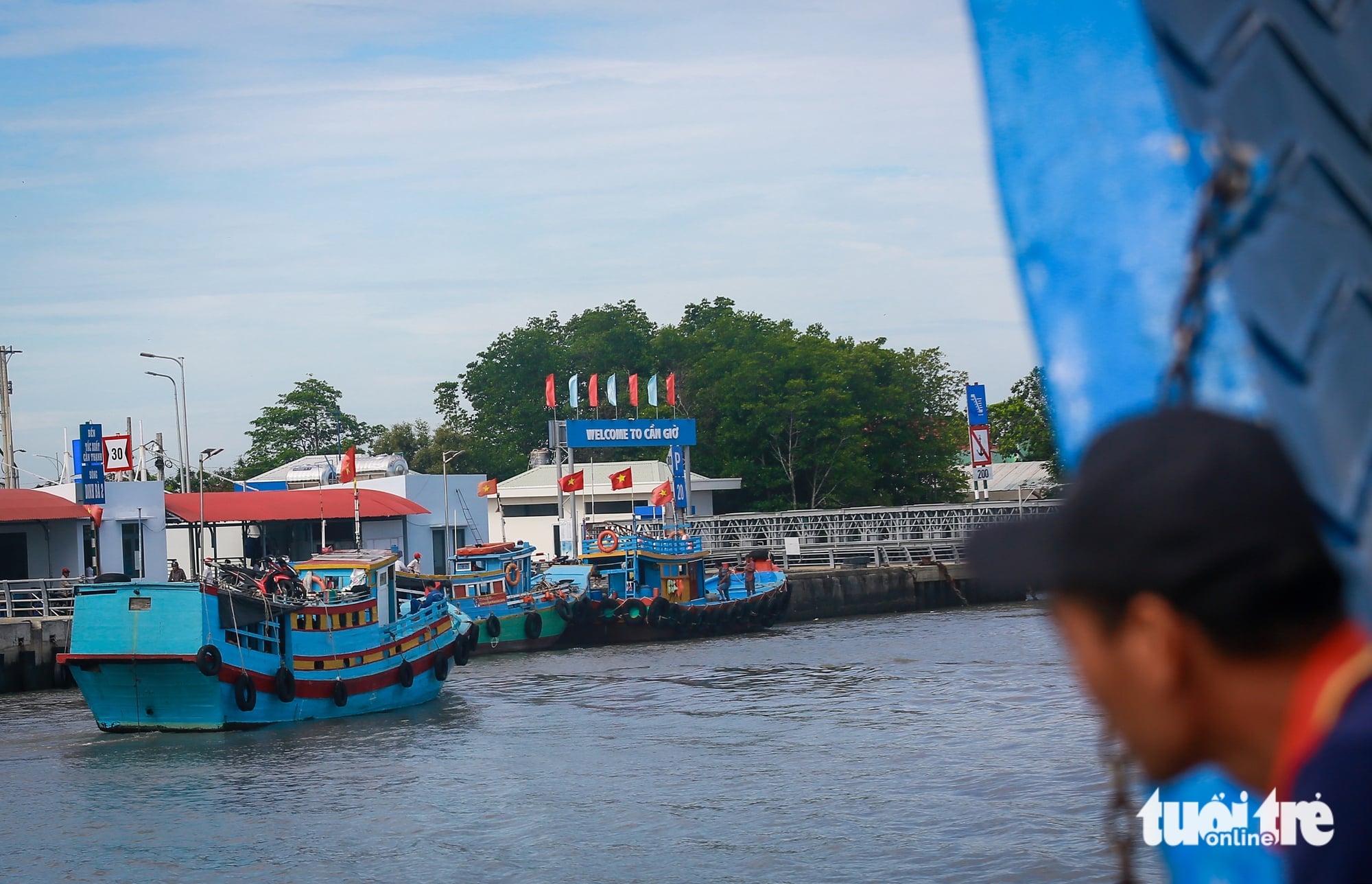
Tac Suat Wharf is the departure point of the Can Gio-Vung Tau ferry route, currently the only direct link between the two areas without requiring a detour via national highways and expressways.

The Can Gio coastline, where the Vinhomes Green Paradise coastal urban area is taking shape, is expanding development toward Ganh Rai Bay, facing the Vung Tau urban area on the opposite shore.
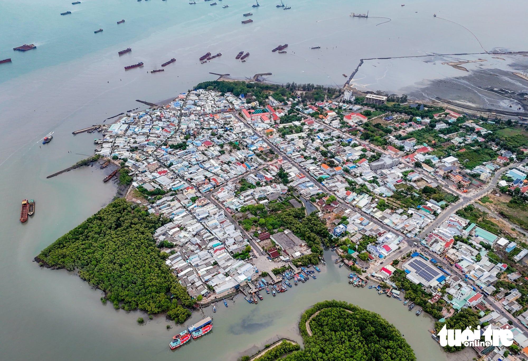
The Can Gio coast features its signature mangrove ecosystem, with the existing urban area connected directly to Rung Sac Road.
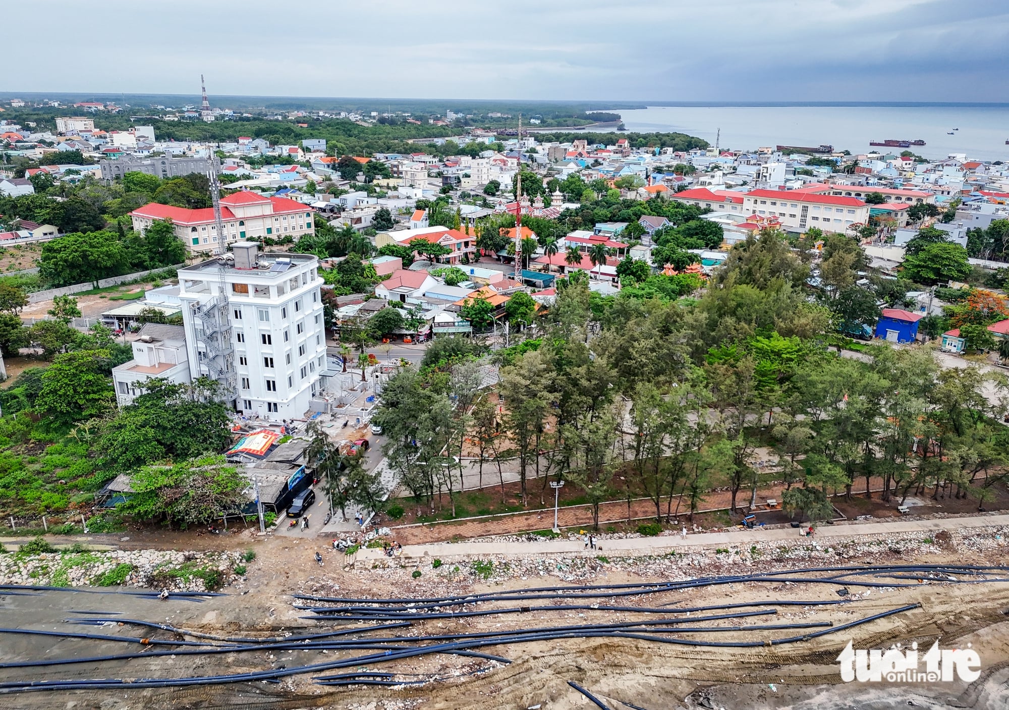
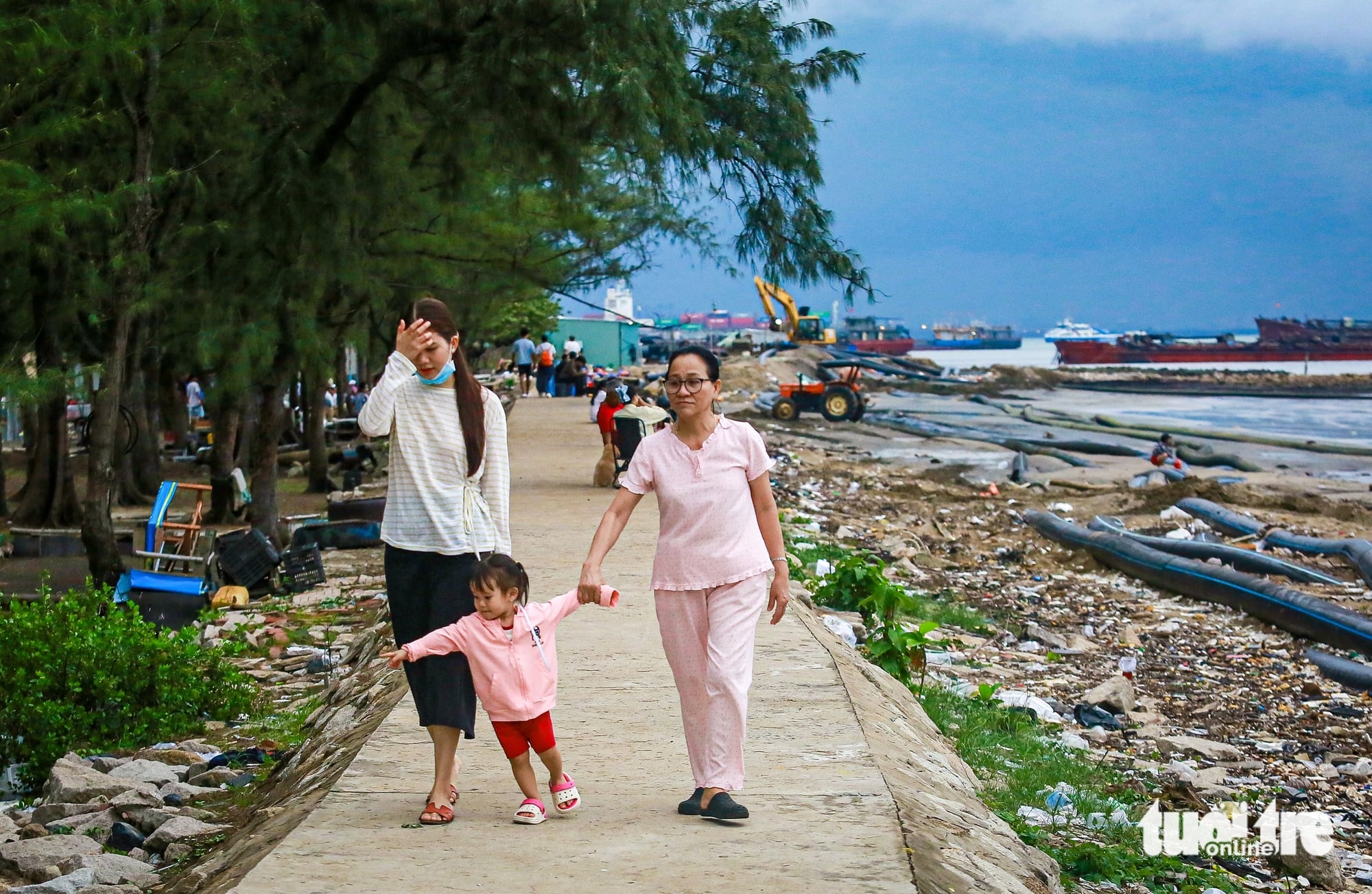
Once a quiet and sparsely populated coastline, Can Gio coastal area has become busier in recent years with tourism, services, and infrastructure projects underway.
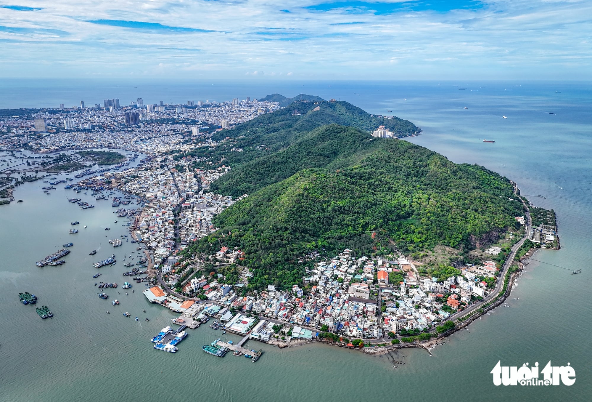
The Tam Thang area in Vung Tau is where the Can Gio-Vung Tau sea-crossing route will connect. It is also an existing coastal transport hub, linking directly to 30-4 Street and inner-city roads in Vung Tau, forming a key point in the regional transport corridor.
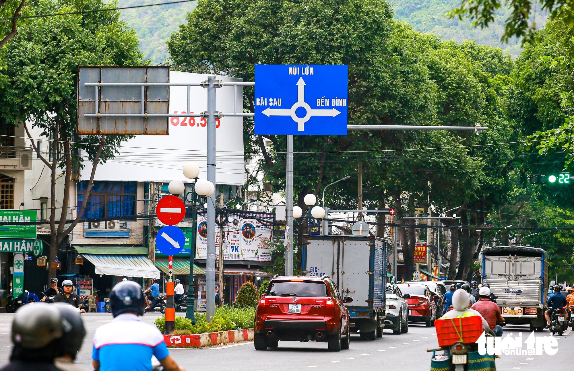
The connection point of the sea-crossing route is located in Tam Thang, where it will link with 30-4 Street and the planned Sao Mai-Ben Dinh Road, integrating into the existing urban and coastal transport network.
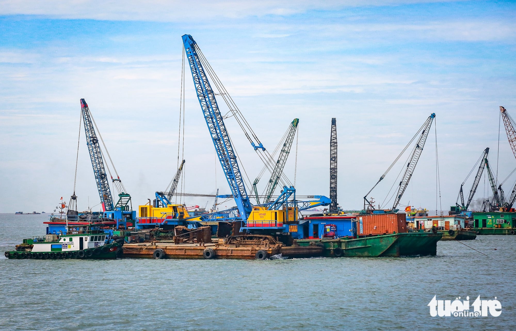
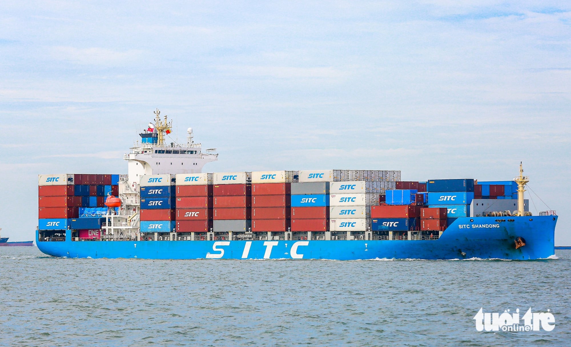
Ganh Rai Bay serves as a maritime gateway for the Soai Rap, Long Tau, and Thi Vai river systems, with many shipping lanes and vessels passing through.
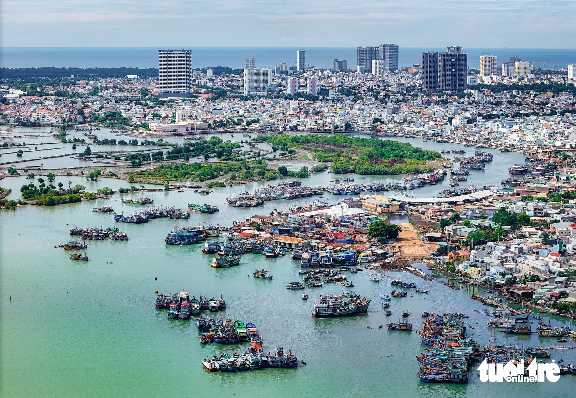
On the Vung Tau side, the coastline stretches alongside port activities and tourism areas, facing Can Gio across Ganh Rai Bay.
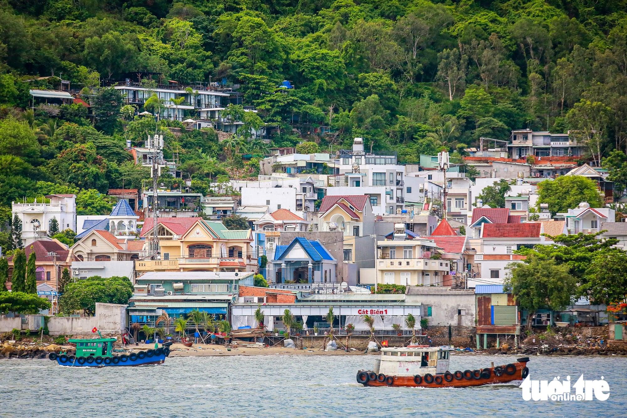
On the Vung Tau side, residential areas are interwoven with established coastal streets and urban spaces. Across Ganh Rai Bay, Can Gio still has large areas for development and is undergoing major transformation.
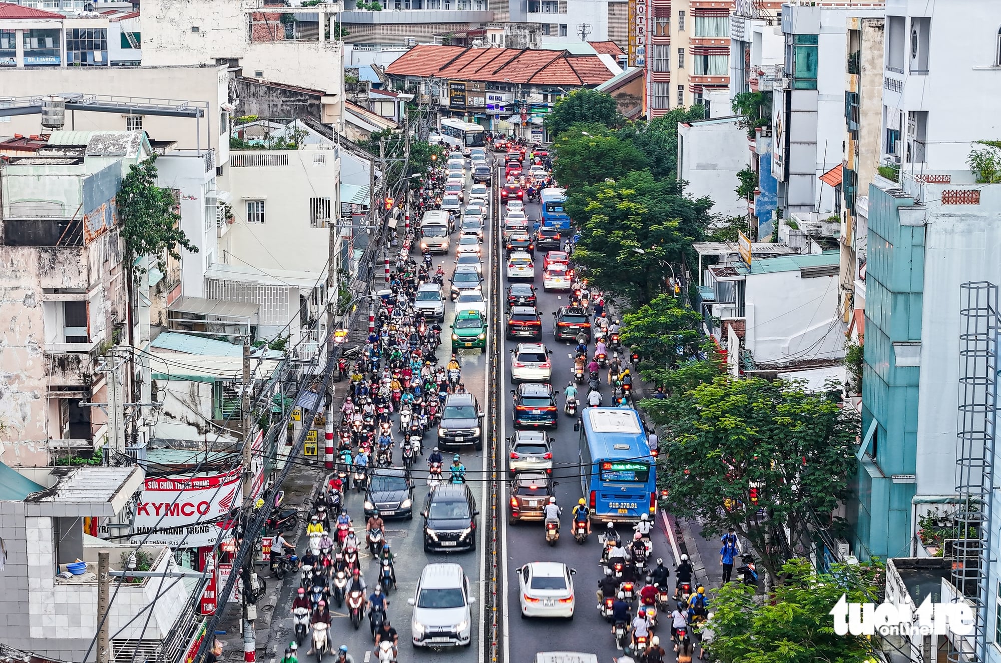
The current journey to Can Gio begins from the city center, through Nguyen Tat Thanh Street, one of Ho Chi Minh City’s most congested roads.
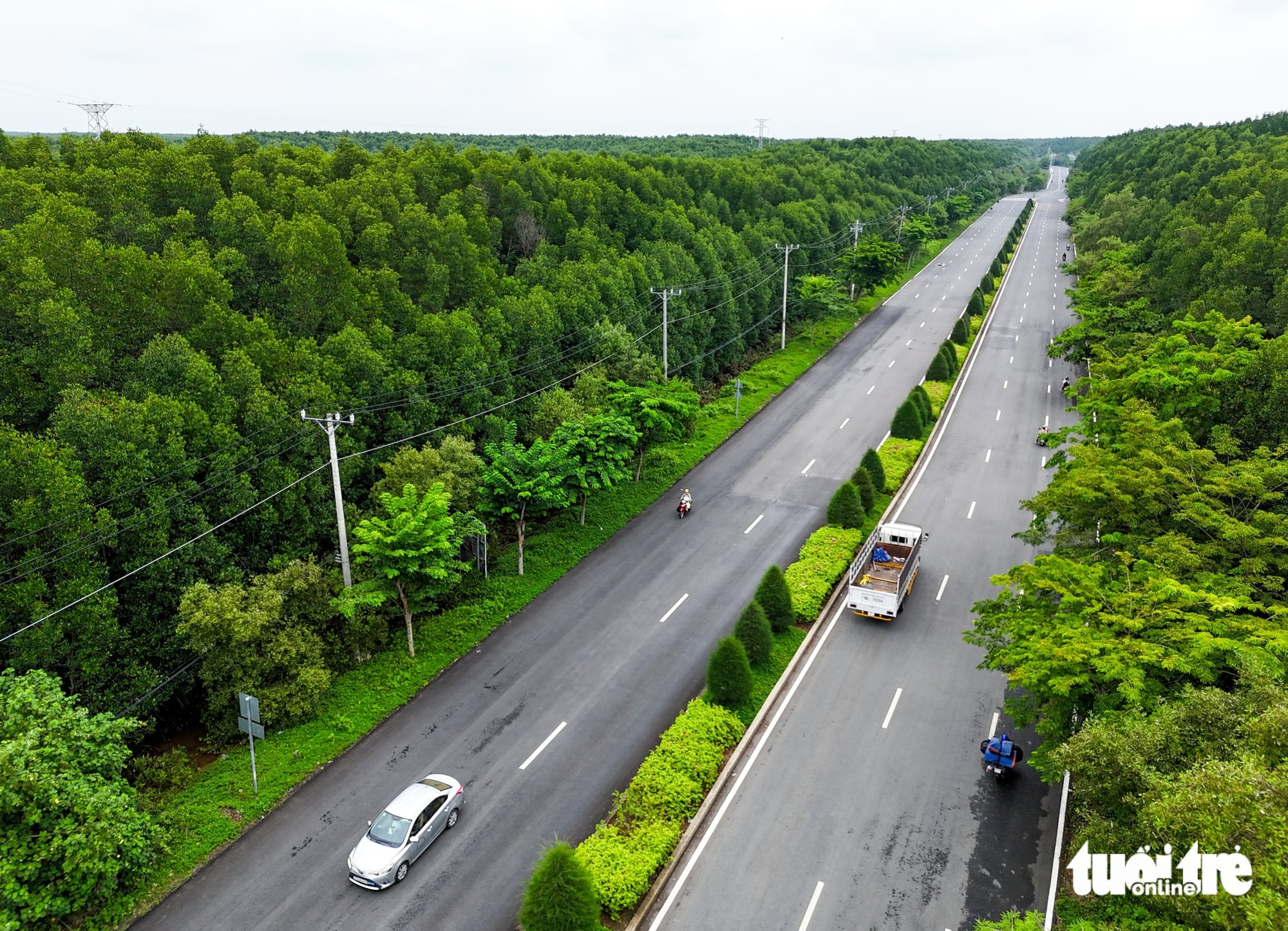
Connected with Binh Khanh Ferry, Rung Sac Road becomes the main route into Can Gio. The road cuts through the mangrove forest and serves as an important connection to the city’s coastal area.
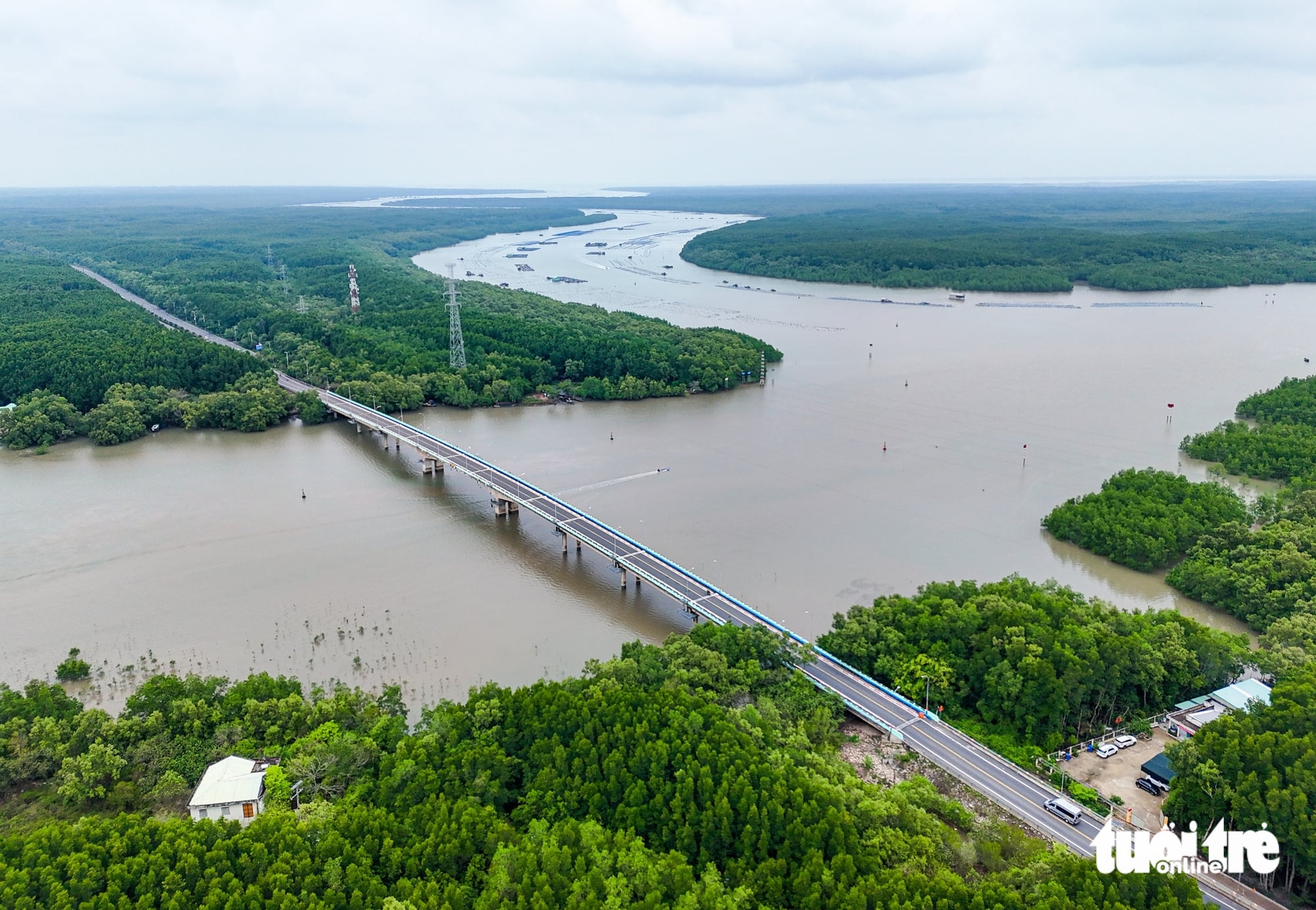
For years, Can Gio has remained relatively isolated from the rest of Ho Chi Minh City, separated by the Soai Rap, Dong Tranh, Long Tau, and Thi Vai Rivers, with access relying mainly on ferry crossings.
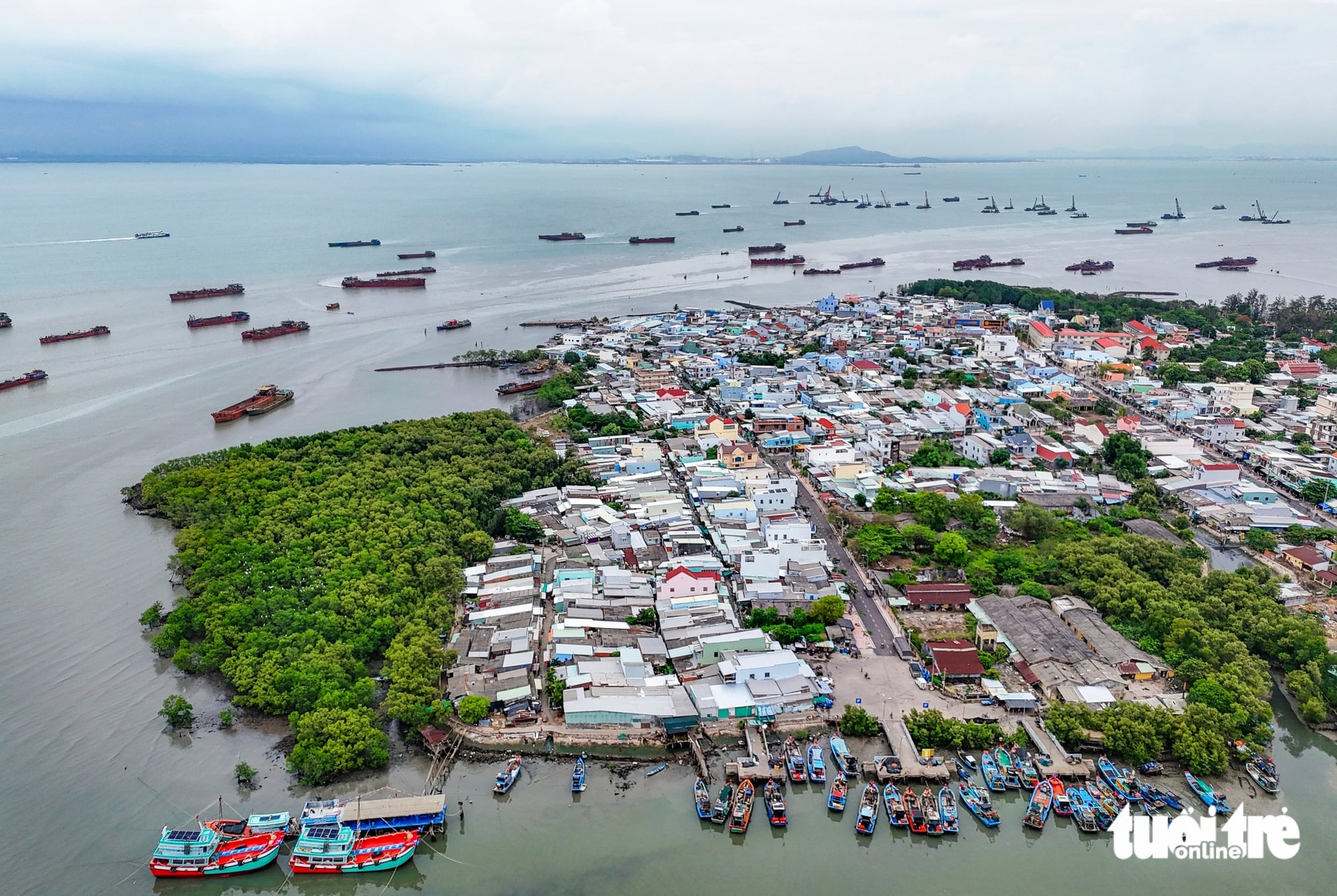
From today’s ferry trips across Ganh Rai Bay, Can Gio is looking toward a future sea-crossing route that could transform connections between the city’s growth areas.








Max: 1500 characters
There are no comments yet. Be the first to comment.