
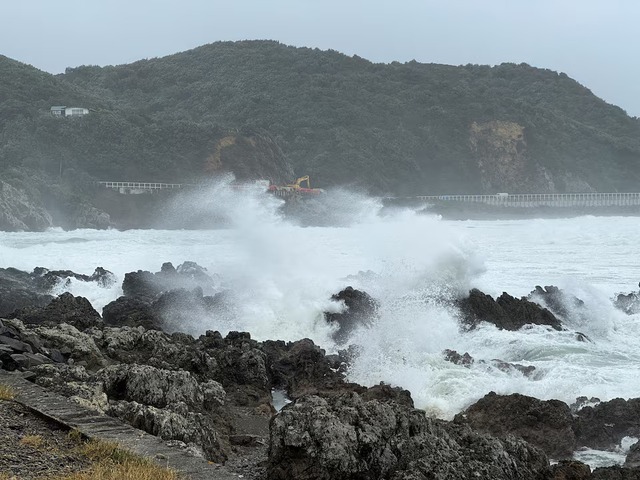
Strong winds hit Lyall bay in Wellington, New Zealand, May 1, 2025. Photo: Reuters
Average wind speeds reached up to 87 kilometers an hour (54mph) in Wellington, the strongest since 2013, while gusts south of the capital in coastal Baring Head touched 160 kilometers an hour, the government forecaster said.
The highest possible red wind warning has been put in place for Wellington.
"This is certainly bigger than your average bad Wellington day," said Dan Neely, a spokesperson for the Wellington region's emergency management department.
"Few roads are closed in different parts of the region. We've got some waves overtopping coastal roads and dumping some debris."
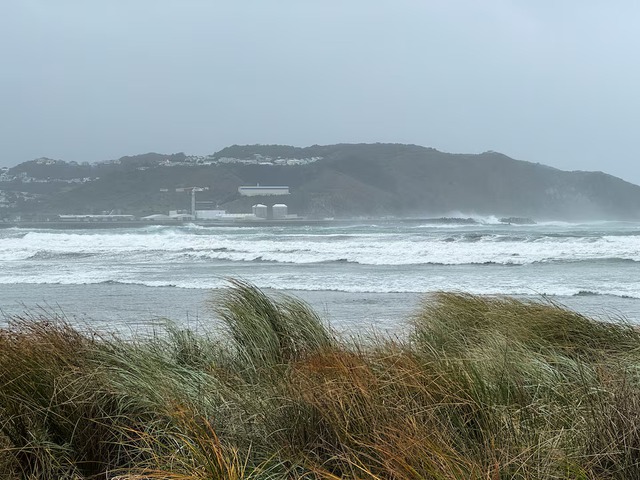
Strong winds hit Lyall bay in Wellington, New Zealand, May 1, 2025. Photo: Reuters
The department asked people to stay indoors where possible and to secure outdoor furniture and trampolines.
Flights at Wellington International Airport had been canceled by the afternoon and ferry service between the North and South Islands was suspended.
A number of local schools and the Victoria University of Wellington said they had shut for the day.
MetService, a second government forecaster, said the high winds in Wellington are set to last until the early hours of Friday.
It added heavy rain was also coming down in the Canterbury region on the South Island where a local state of emergency has been declared due to flooding and rising river levels.
The island's central Selwyn District declared a state of emergency after rain caused flooding and rising river levels. The district council said sandbags had been distributed and people were asked to conserve water.
District Mayor Sam Broughton said in a Facebook post that significant flooding risks had developed across Selwyn, particularly in low-lying areas and people in most at-risk areas were being asked to evacuate.

Max: 1500 characters
There are no comments yet. Be the first to comment.