


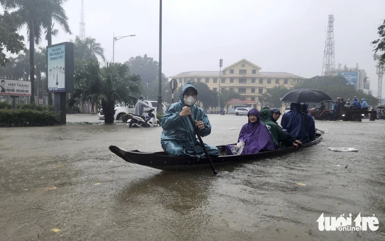
Heavy rain causes flooding in Hue, central Vietnam in late October 2025. Photo: Nhat Linh / Tuoi Tre
Cloud cover might increase, with rainfall gradually becoming more widespread from late Wednesday afternoon and evening.
Temperatures are expected to drop noticeably overnight.
Minimum temperatures during this cold spell are forecast to range from 21 to 24 degrees Celsius across northern and north-central Vietnam, while some mountainous areas in the north could fall below 19 degrees Celsius.
From the night of Friday, temperatures could fall below 15 degrees Celsius in the high mountains areas of Lao Cai, Lai Chau and Ha Giang.
In Hanoi, rain, showers and scattered thunderstorms are forecast from late afternoon and evening on Wednesday through Thursday, with locally heavy rain possible.
The capital is also expected to turn cooler on Wednesday evening.
The national weather center also forecasts the formation of an intertropical convergence zone over the East Vietnam Sea on Wednesday, with its axis extending through the central part of Central Vietnam.
A tropical depression is considered highly likely to develop along the convergence zone over the central East Vietnam Sea on the weekend, with a probability estimated at 70-80 percent.
There is also a 30-40 percent chance that it could strengthen into a storm.
From around Thursday through Friday night, moderate to heavy rain and thunderstorms are forecast to hit the central region, particularly from Thanh Hoa to Hue, as well as across the Central Highlands and southern Vietnam.
Some areas could experience exceptionally heavy rainfall, with accumulated totals generally ranging from 70 to 150mm and locally exceeding 250mm.
The center has warned of the possibility of rainfall exceeding 100mm within three hours.
From Saturday, heavy rain in central Vietnam could persist, with weather conditions expected to remain complicated.
Thunderstorms accompanied by tornadoes, lightning, hail and strong gusts could disrupt agricultural production and damage trees, homes, transport facilities and other infrastructure.
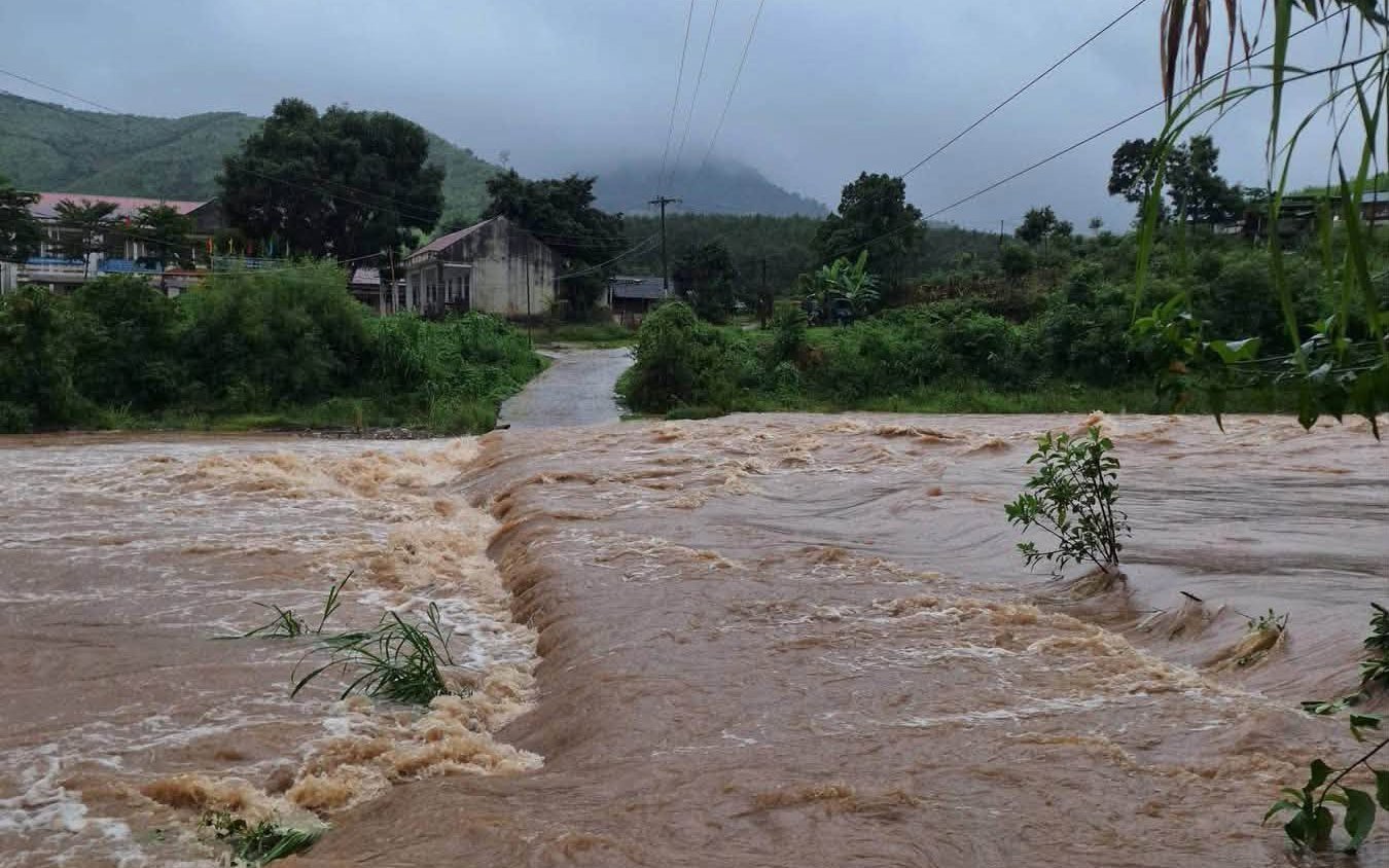
Locally intense rainfall could also trigger flash floods along rivers and small streams, landslides on steep slopes and flooding in low-lying areas.
Close monitoring of vessels at sea
To proactively respond to the potential tropical depression, which could strengthen into a storm, as well as the expected heavy rain, the National Civil Defense Steering Committee on Tuesday asked ministries, agencies and coastal provinces and cities from Quang Ninh to An Giang to closely monitor forecasts, warnings and developments involving the tropical depression and strong winds at sea.
Authorities were also instructed to inform and guide captains, vessel owners and boats operating at sea so they can take precautions and adjust production plans accordingly, ensuring the safety of people and property.
Coastal localities have been urged to closely monitor vessels, particularly tourist boats operating in bays, coastal waters and around islands, while maintaining communications to ensure that any dangerous situations can be addressed promptly.
Regarding heavy rain, thunderstorms, lightning, flash floods, landslides and localized flooding in central Vietnam, the steering committee called on local authorities to promptly provide warnings to grassroots administrations and residents so that appropriate preventive measures can be taken.
Authorities should also review areas at high risk of deep flooding, flash floods and landslides and proactively evacuate residents to safe locations where necessary.








Max: 1500 characters
There are no comments yet. Be the first to comment.