


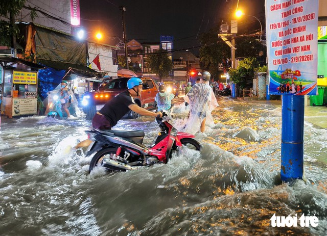
Ho Chi Minh City authorities will review flood-prone locations and identify causes such as undersized drains, sediment buildup, subsidence, and outfalls affected by high tides. Photo: Chau Tuan / Tuoi Tre
In 2026-27, authorities will assess the existing drainage system and analyze the root causes of flooding to identify bottlenecks, determine solutions, and set investment priorities.
Issues to be reviewed include narrowed drainage sections, loss of slope caused by subsidence, sediment buildup that reduces drainage capacity, and outfalls affected by high tides.
The southern metropolis plans to launch 54 projects worth more than VND69.348 trillion (US$2.6 billion) to address 33 flood-prone sites.
In 2026, nine projects with a total investment of more than VND7.15 trillion ($276 million) are scheduled to address flooding at three locations: Phan Van Hon Street, Binh Quoi Street, and the intersection of National Highway 51 and Huynh Thuc Khang Street.
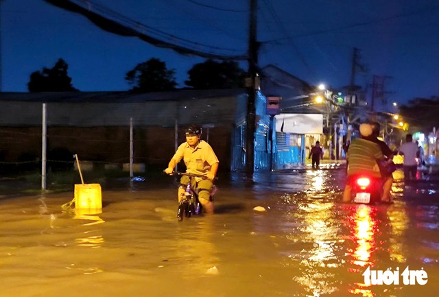
Road No. 11 in Thu Duc Ward, Ho Chi Minh City is heavily flooded on the evening of September 30, 2026 after water suddenly surged from a canal into the residential area following a downpour. Photo: Chau Tuan / Tuoi Tre
Another 45 projects worth over VND62.197 trillion ($2.4 billion) are planned for 2027, targeting 30 flood-prone locations.
Six severely flooded areas will be prioritized, including Thao Dien-Quoc Huong-Nguyen Van Huong, Thu Duc Market, the Go Vap area and Tan Son Nhat International Airport, Nguyen Van Qua, National Highway 13, and National Highway 51.
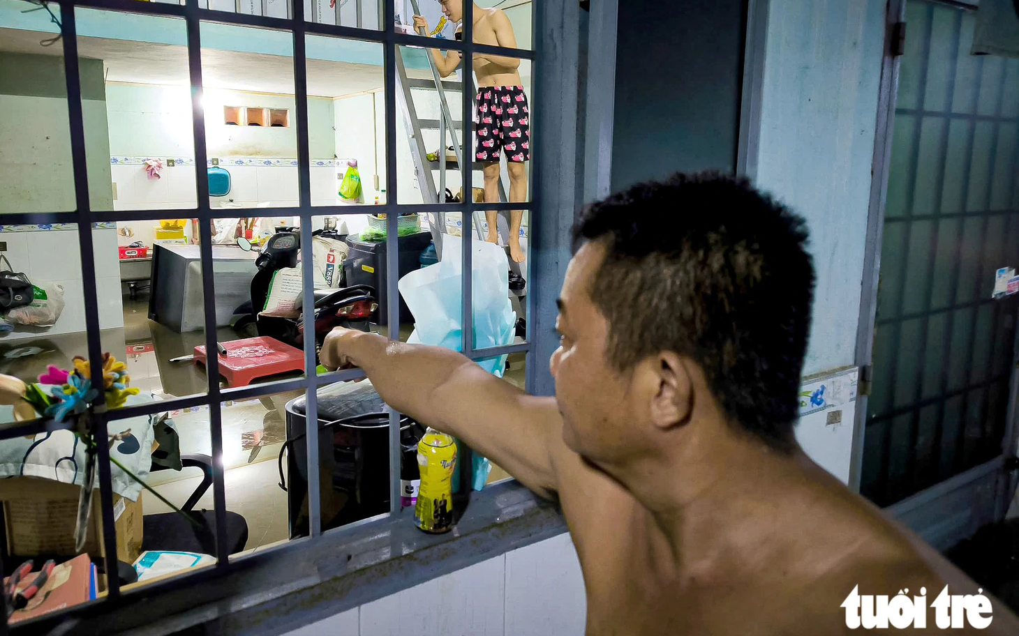
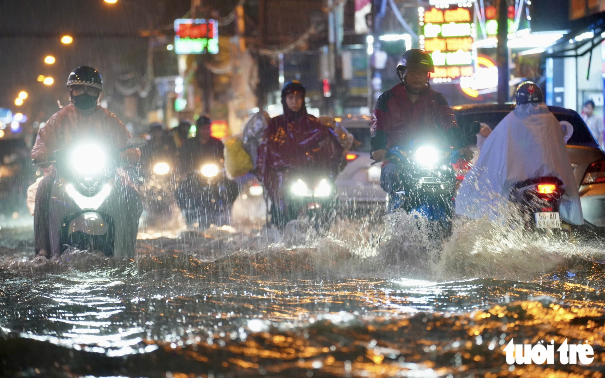
Projects targeted for completion in 2026-27 include Phase 1 of the tidal flood-control system, the Tham Luong-Ben Cat-Nuoc Len canal project, the Xuyen Tam Canal, the Van Thanh and the Doi Canal.
From 2028 to 2030, another 33 projects worth more than VND72.992 trillion ($2.8 billion) are set to be implemented, targeting 17 flood-prone locations.
The city plans to develop a smart drainage system using real-time data on rainfall, tides, water levels, drains, valves and pumping stations to support operations.
It also plans to add retention ponds and underground water-storage tanks beneath parks, schools, sports grounds, parking lots, and other public spaces.
By 2030, the city aims to relocate about 20,000 households along and over canals through roughly 43 projects, while improving the environment, upgrading waterways, and increasing drainage capacity.








Max: 1500 characters
There are no comments yet. Be the first to comment.