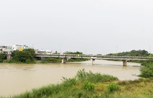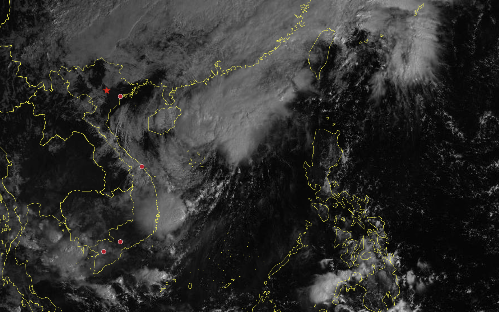
The Vu Gia River in Da Nang City, central Vietnam, where water levels may rise to alarm level 3 over the next several days due to storm Fengshen, the 12th storm to hit the East Vietnam Sea in 2025. Photo: Le Trung / Tuoi Tre
In a weather bulletin issued at 9:00 am on Tuesday, the agency reported that between October 22 and 27, Da Nang could face total rainfall of 400-700mm, with some areas exceeding 900mm, due to the combined influence of the storm’s circulation, cold air, and easterly wind disturbances.
Authorities have warned of a high risk of flash floods and landslides in mountainous areas, and urban flooding in low-lying neighborhoods.
Currently, river water levels remain below alarm level 1, but from October 23 to 28, a new flood wave is expected, with peak levels fluctuating between alarm levels 2 and 3, or higher on some rivers.
The disaster risk level due to flooding is classified as level 2-3.
At 1:00 pm on Tuesday, the storm’s center was about 450km east-northeast of Da Nang, packing winds at 75-102 kph, gusting to 118-133 kph, and moving southwest at 10-15 kph, according to Vietnam’s national weather center.
Wind speeds on Cu Lao Cham Island reached 20-38 kph, gusting to 50-61 kph, while waves at Son Tra measured 0.75m on Tuesday morning.
Meteorologists predicted that by Wednesday, winds over the Da Nang coastal area will strengthen to 50-61 kph, with areas near the storm's center reaching 62-88 kph, gusting to 103-117 kph, and waves of three to five meters.
In Vietnam’s Hoang Sa (Paracel) Special Zone, winds may blow at 75-102 kph, gusting to 118-133 kph, with waves of up to seven meters and extremely rough seas.

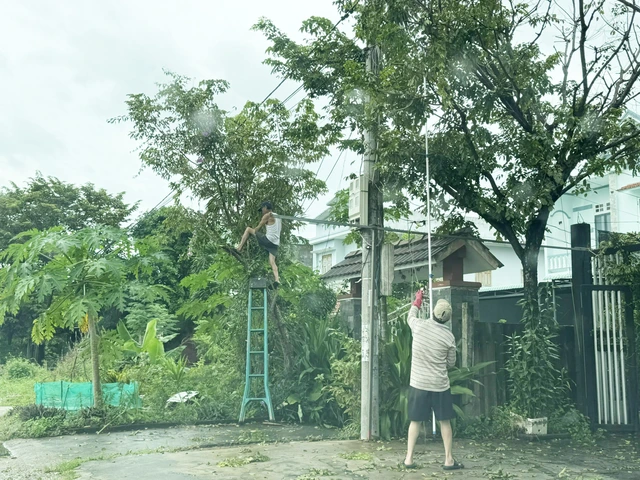
Residents in Da Nang City, central Vietnam prune trees in front of their homes to prepare for the storm. Photo: Le Trung / Tuoi Tre
Da Nang prepares emergency response
On Monday, the Da Nang People’s Committee held an online meeting with local authorities to coordinate storm and flood preparedness.
Tran Nam Hung, vice-chairman of the municipal administration, said that while storm Fengshen, the 12th storm to hit the East Vietnam Sea in 2025, may not bring extremely strong winds, it is forecast to cause significant rainfall, particularly from October 23 to 26.
Such intense rainfall could lead to deep flooding, landslides, and local isolation.
The coastal city has mobilized about 300 small- and medium-sized boats from volunteer groups and armed forces to assist residents with evacuations and relief delivery in flooded neighborhoods.
Authorities are also considering distributing life jackets to residents in low-lying areas.
Local administrations have been instructed to activate on-site disaster response plans, prepare for possible evacuations, and suspend school classes if heavy rain intensifies.
“Each household should store enough food for several days," Hung advised.
“Don’t wait until the storm hits to rush out for instant noodles.
“We must not be caught off guard.
“No one should be left isolated or hungry. Those in hardship will receive timely support."


Max: 1500 characters
There are no comments yet. Be the first to comment.