
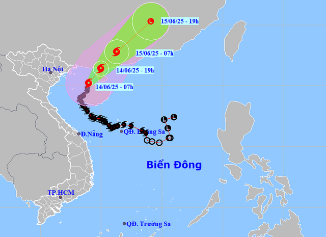
A map shows the projected locations and path of storm Wutip in the East Vietnam Sea as of 7:00 am on June 14, 2025. Photo: Vietnam’s National Center for Hydro-Meteorological Forecasting
As of 7:00 am on Saturday, Wutip’s center was located over the northeastern waters of the Gulf of Tonkin, about 150 kilometers east of Hai Phong’s Bach Long Vi Island.
The storm was moving slowly at 5kph, packing maximum sustained winds near its center at level 10-11 (89-117kph), with gusts at level 13 (134-149kph), according to the National Center for Hydro-Meteorological Forecasting.
Under Wutip’s influence, Bach Long Vi Island and Quang Tri Province’s Con Co Island were experiencing 50-61kph winds with gusts reaching level 8-9 (62-88kph), while coastal areas like Bai Chay and Cua Ong in Quang Ninh reported 39-49kph winds.
The storm is forecast to travel north-northeast at about 15kph until late Saturday afternoon, gradually weakening.
By 7:00 pm on Saturday, Wutip’s center could be over the northern coast of Leizhou Peninsula, with wind strength reduced to level 9-10 (75-102kph) and gusts at level 13.
From Saturday evening through early Sunday morning, the storm will possibly maintain its current track, move inland over Leizhou Peninsula, and weaken further.
A satellite image of storm Wutip taken at 9:00 am on June 14, 2025. Photo: Vietnam’s National Center for Hydro-Meteorological Forecasting
By 7:00 am on Sunday, it is projected to reach the mainland of southwestern Guangdong Province in China, packing winds at level 8 (62-74kph) and gusts at level 10 (89-102kph).
Throughout Sunday, Wutip may travel northeast at approximately 20kph and move deeper into Guangdong, weakening into a tropical depression and then into a low-pressure area.
In the Gulf of Tonkin, including Co To and Bach Long Vi islands, strong winds of level 7 (50-61kph) are expected on Saturday, gusting up to level 13 near the storm’s path. Waves in this area could rise to 2-4m, and up to 3-5m in the eastern sector, causing very rough seas.
The northern East Vietnam Sea may see winds at level 6 (39-49kph) and gusts at level 8, with wave heights of 2-4m and rough sea conditions.
Vessels operating in these dangerous zones remain at risk of thunderstorms, whirlwinds, and high waves.

Max: 1500 characters
There are no comments yet. Be the first to comment.