


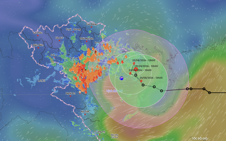
A satellite image shows the position and forecast track of a tropical depression in the Gulf of Tonkin, as recorded at 1:00 pm on August 21, 2026. Photo: Vietnam Disasters Monitoring System
As of Friday afternoon, the depression was about 110 kilometers east-northeast of Bach Long Vi Special Zone in the gulf, with maximum sustained winds near its center reaching 61 kph, with gusts up to 88 kph.
The system may strengthen into a storm within the next 24 hours and maintain winds of 62-74 kph, with strongest gusts rising to 102 kph.
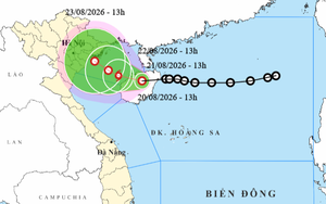
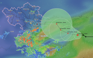
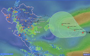
It is forecast not to make landfall in northern Vietnam over the next four days but instead move slowly and repeatedly change direction over the gulf due to the influence of a subtropical high-pressure system, according to the center.
Forecast models show that due to the depression, heavy rain will initially concentrate in northeastern Vietnam before spreading toward Thanh Hoa Province and other parts of the north-central region, with the heaviest rainfall expected to be recorded on Friday night and Saturday.
From Friday evening through next Monday, total rainfall in the northern region is forecast to range from 100-200 mm in most areas, with isolated areas receiving more than 400 mm.
In particular, Lang Son, Bac Ninh and Quang Ninh Provinces, along with Hai Phong City, are expected to receive 200-300 mm of rain, with isolated areas in the four localities receiving more than 500 mm.
In the north-central region, rainfall is expected to be concentrated in Nghe An and Ha Tinh Provinces.
The rainy weather is forecast to continue through next Monday and may persist beyond then.
Heavy rains may cause flooding in low-lying areas, urban areas and industrial parks, as well as flash floods in small rivers and streams and landslides, the center warned.
Mai Van Khiem, director of the center, said the tropical depression's track remains complicated, warning in particular of hazardous weather, strong winds and high waves that could pose a danger to vessels in the Gulf of Tonkin.
Therefore, relevant agencies should continuously update the situation in the gulf and strengthen warnings to local authorities and vessels operating in the gulf, he said.








Max: 1500 characters
There are no comments yet. Be the first to comment.