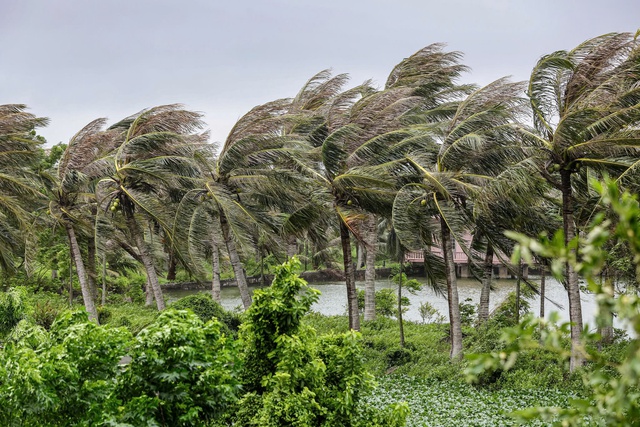
A storm makes landfall with strong winds in northern Vietnam. Photo: Danh Khang / Tuoi Tre
A low-pressure trough stretching across southern and south-central Vietnam and the central East Vietnam Sea will remain active early next week.
Toward the weekend, a tropical convergence zone linked to a tropical cyclone crossing the Philippines is expected to strengthen as it enters the East Vietnam Sea.
While the system is not forecast to directly impact mainland Vietnam, its circulation could still trigger heavy to very heavy rainfall, especially in urban areas, causing flooding and possibly accompanied by thunderstorms, lightning, whirlwinds, hail, and strong gusts of wind.
For the first 10 days of November, expected rainfall totals include Lam Dong Province with 100-180mm; Ho Chi Minh City with 70-150mm; Dong Nai Province with 90-170mm; Tay Ninh Province with 80-160mm; Vinh Long Province, Can Tho City, and Dong Thap Province with 60-140mm; An Giang Province with 70-150mm; and Ca Mau 90-170mm.
The agency cautioned that this is a long-range forecast, and weather conditions could change significantly.
Residents are advised to follow updated bulletins from the National Center for Hydro-Meteorological Forecasting and local authorities for preparedness measures.


Max: 1500 characters
There are no comments yet. Be the first to comment.